


JIC Recovery Release No. 20 - Tier II Shelter to Close on May 1; Final Transition Support Underway
Note: The Joint Information Center transitioned to Recovery Releases, identifiable by Release Number and Name.
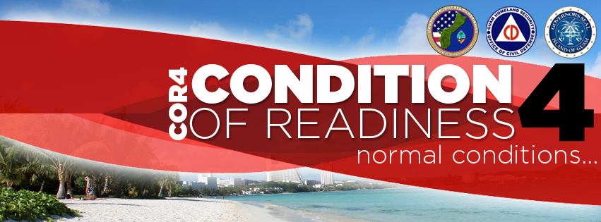
Joint Information Center - JIC Recovery Release No. 20
April 28, 2026, 7:15 a.m. (ChST) JRR1009#20
Tier II Shelter to Close on May 1; Final Transition Support Underway